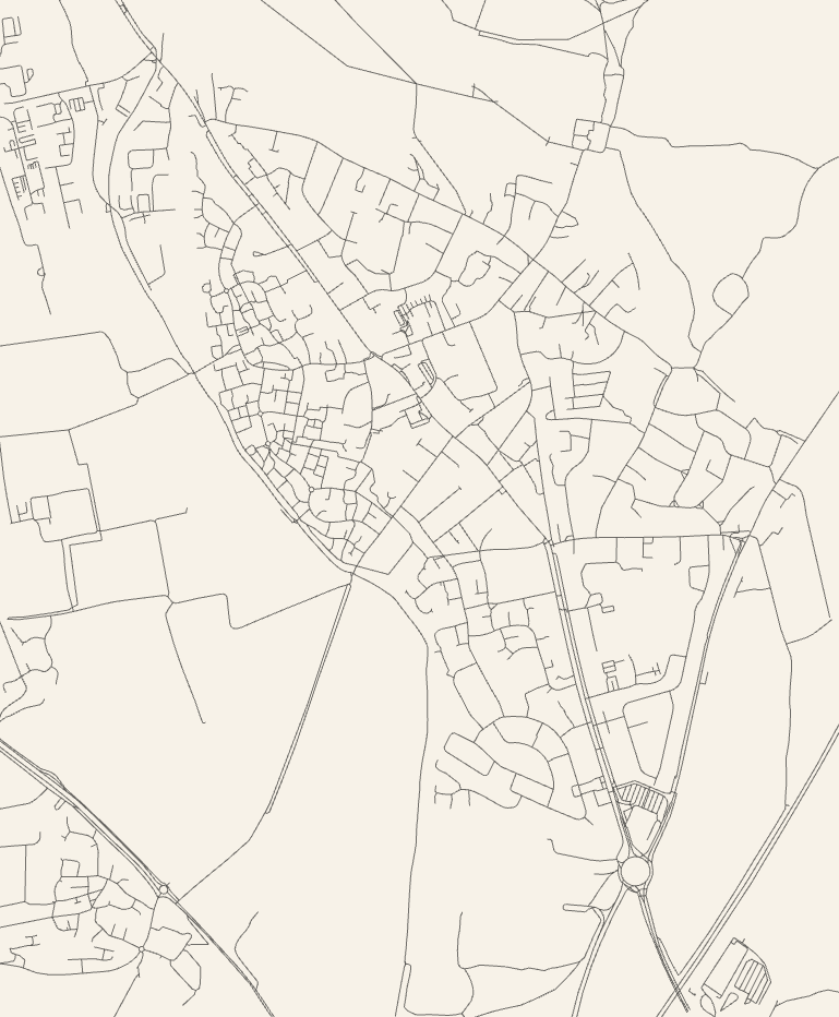
Cute open source project that produces on-demand SVG and PNG maps, like the one above, based on the roads in OpenStreetMap data. It takes a somewhat liberal view of what a “road” is: I found it momentarily challenging to get my bearings in the map above, which includes where I live, because the towpath and cycle paths are included which I hadn’t expected. Still a beautiful bit of output and the source code could be adapted for any number of interesting cartographic projects.
City Roads
This article is a repost promoting content originally published elsewhere. See more things Dan's reposted.